

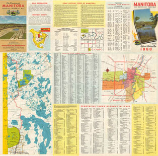
1960
Size (width by height) 24.0" X 23.5" |
|
 |
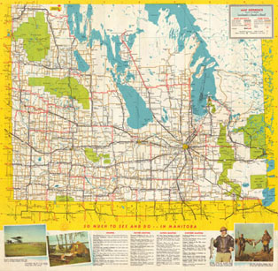 |
These PDF files were created by scanning both sides of the original paper map. They are available in a low resolution format for quick viewing, or in a high resolution format for detailed viewing or printing.
Because of the way the maps were originally laid out, portions may be upside down. Use the tools in your viewer to re-orientate the views as needed. Given the age and quality of the original maps, these scans may contain folds and other imperfections.