Interactive Maps
We are pleased to announce that a new version of AgriMaps was released on February 28th, 2025. For more information, please click here.
AgriMaps
 Interact with soil survey data and related interpretations including surface texture, drainage, agricultural capability, suitability for irrigation and much more.
- Search for land by legal description
- View soil survey data and agricultural interpretations
- Measure distances and areas in the map
- Mark-up the map with text and shapes
- Print a custom map
Current Weather Conditions Viewer
 View current weather conditions from over 100 weather stations in agri Manitoba or zoom in to find the weather station closest to you for your local weather.
With the Current Weather Conditions Viewer you can:
- View current weather patterns across agri Manitoba
- Search for a weather station by name
- View the current conditions summary page for any weather stations
Manitoba Drought Monitor
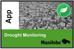 Explore data from the monitoring networks used to track drought conditions across Manitoba such as streamflow and water levels, precipitation, reservoir supply status, and Canadian and United States Drought Monitor contours.
With the Drought Monitoring Map you can:
- Compare observed streamflows and water levels to historical normals
- View short and long-term precipitation indicators to gauge the severity of meteorological drought
- Monitor the supply status of various reservoirs across southern Manitoba